


The subject property is located in Lemont Illinois. The subject is located in the far southeastern portion of Cook County. The 2019 Lemont population was reported at 17,291, an increase of 32% since 2000. It offers a diverse economy with all sectors reported.
The community is well-situated with proximity to several primary linkages and tollway/expressway access. I-355 is the closest tollway/expressway. Other primary arterials include IL Route 83 ad IL Route 53.
The communities of Woodridge, Darien, Burr Ridge, and Bolingbrook are located to the north of Lemont with Homer Glen and Lockport located to the south. with interchanges at 159th Street and 167th Street. It is situated approximately 29 miles from O’Hare Airport and 20 miles from Midway Airport. Lemont offers typical community services and educational facilities.
There is adequate retail and services available in the area.
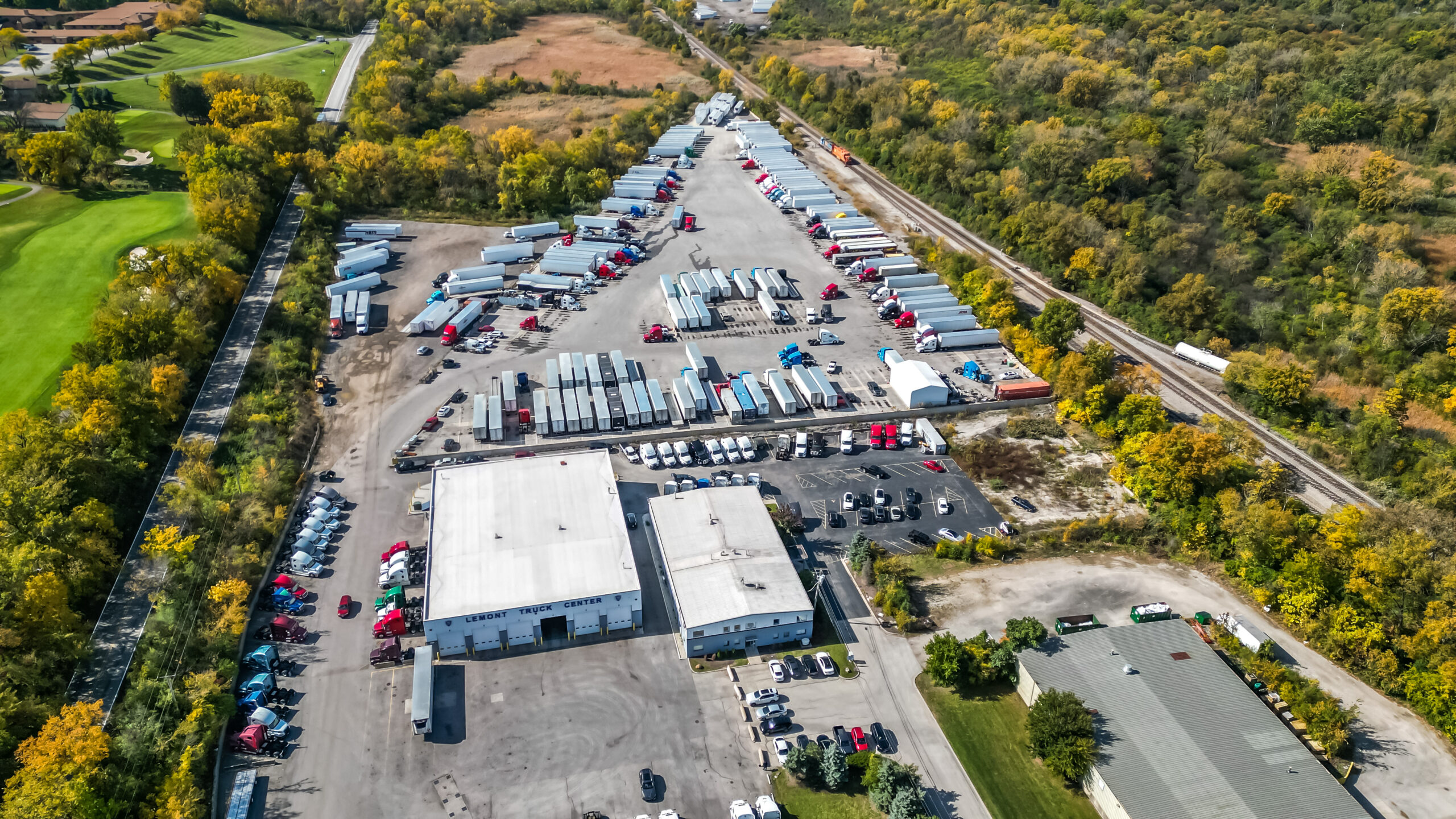
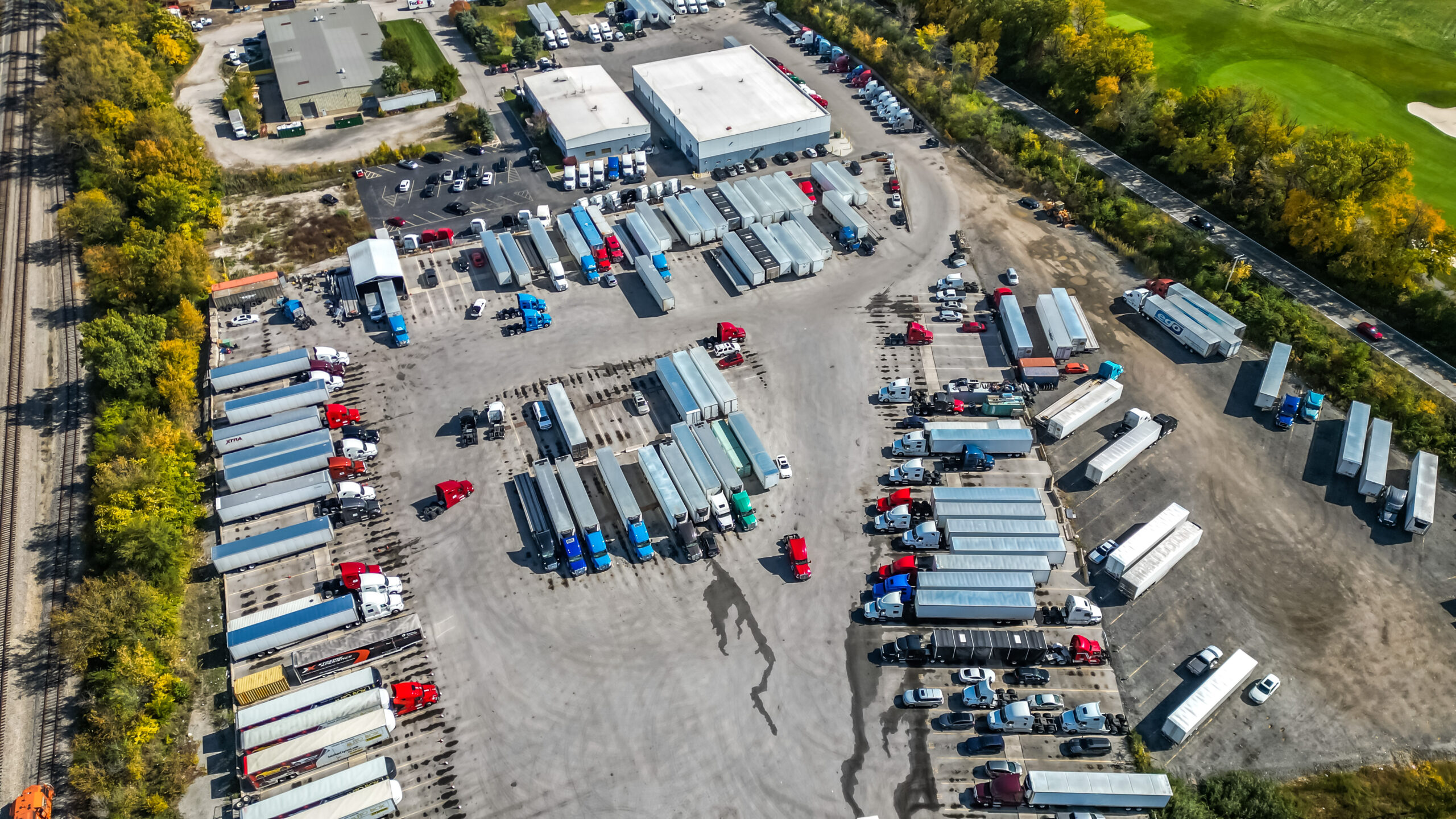
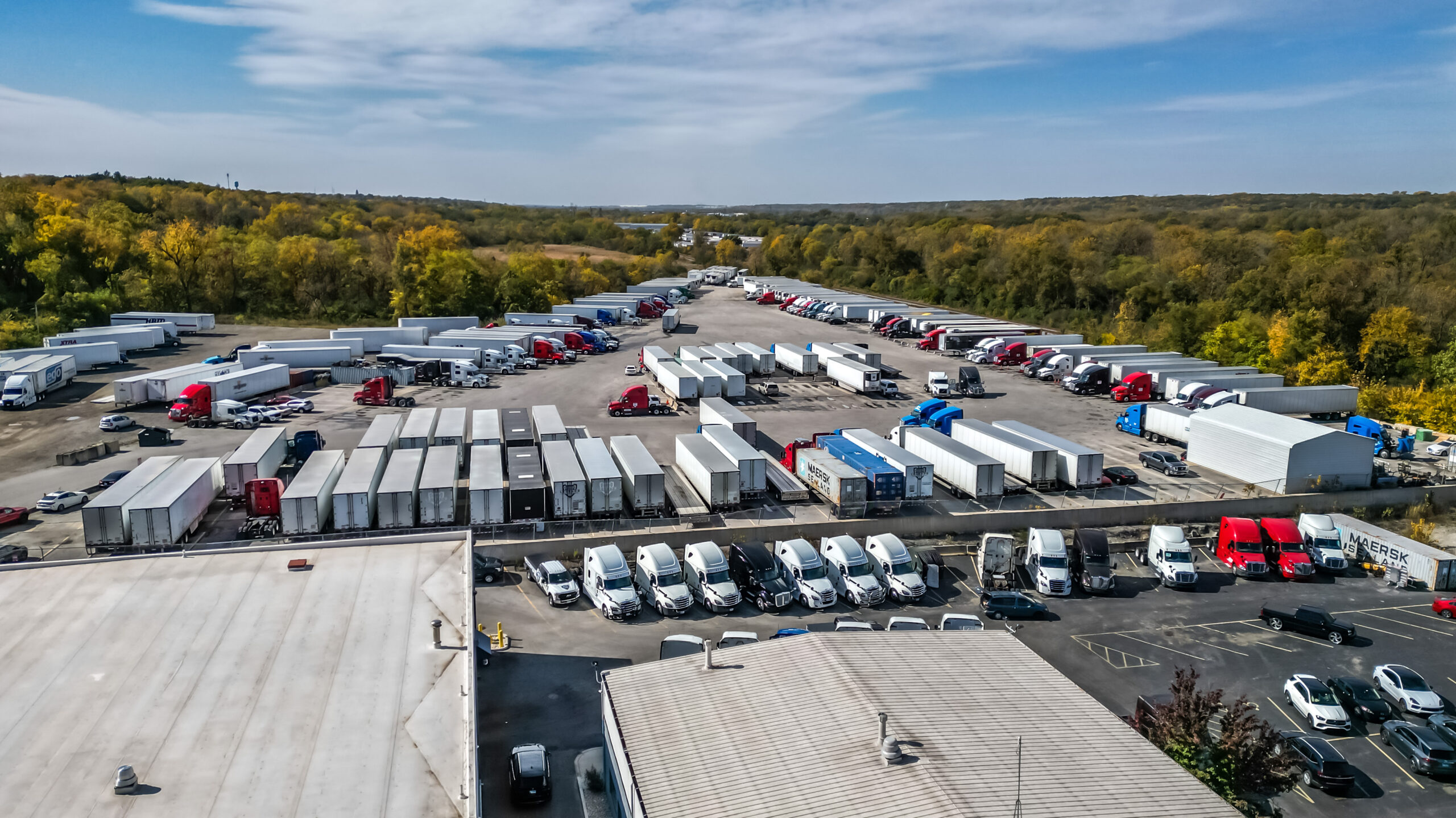
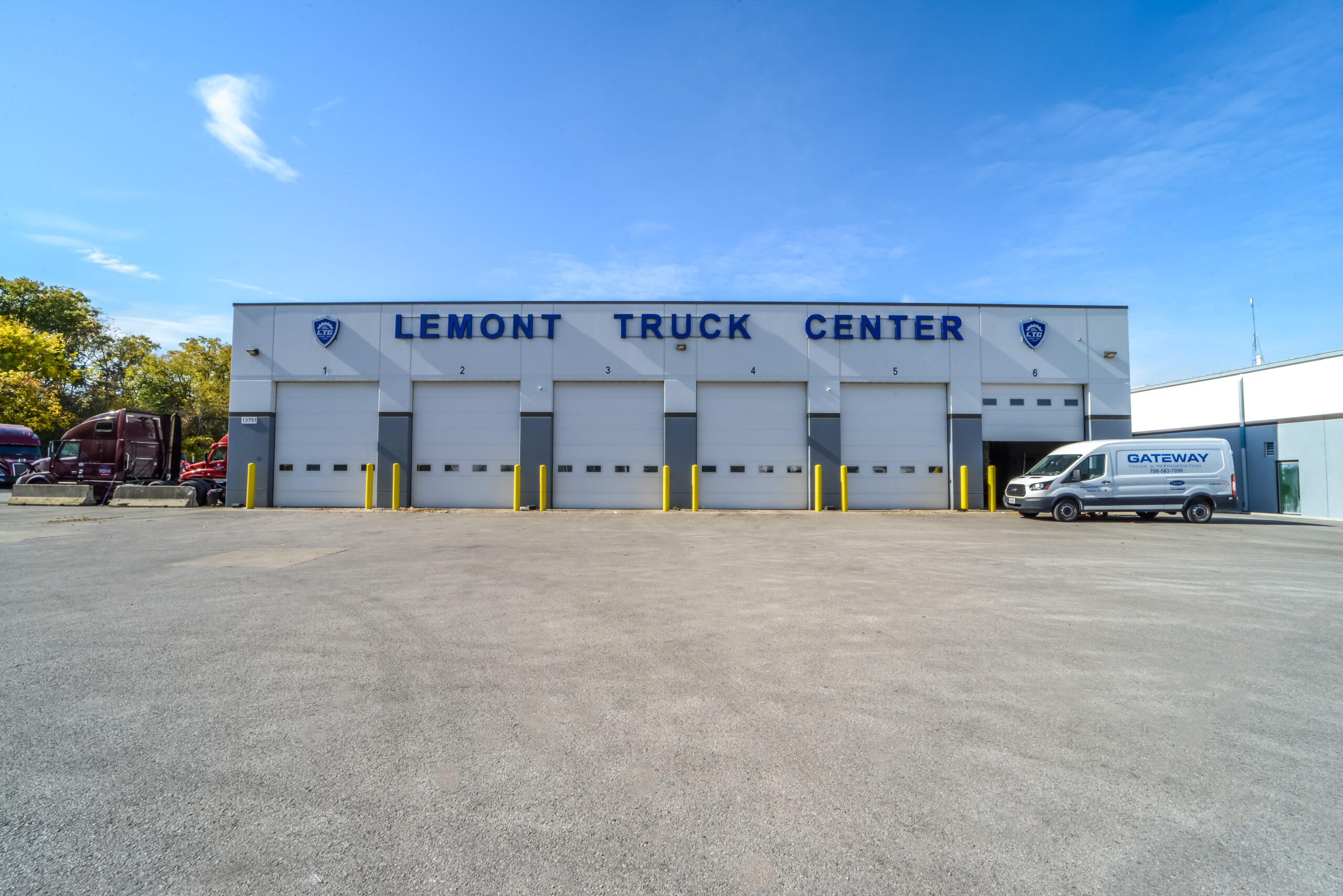
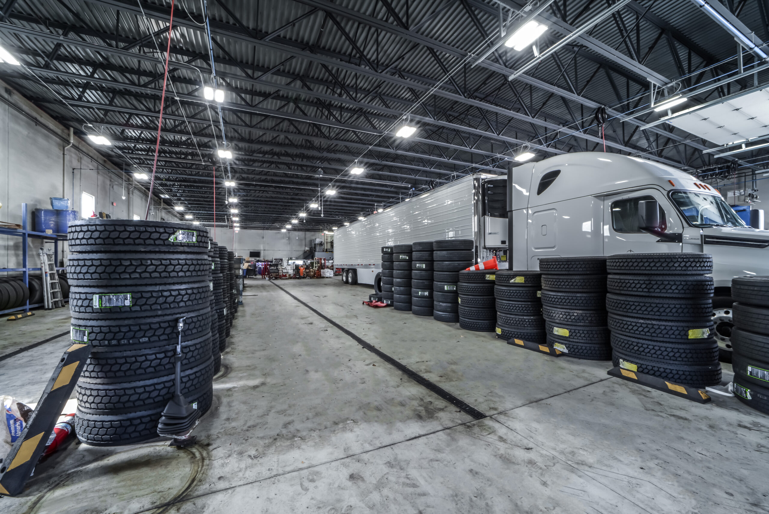
The subject neighborhood is an established industrial park location in an area of similar industrial uses including truck repair and truck/trailer storage. The area is developed with a variety of industrial-related uses ranging in age and size.
Some highlights of the subject area include the following:
- Located in close proximity to several primary arterials.
- Located in close proximity to multiple expressways including I-55 and I-355.
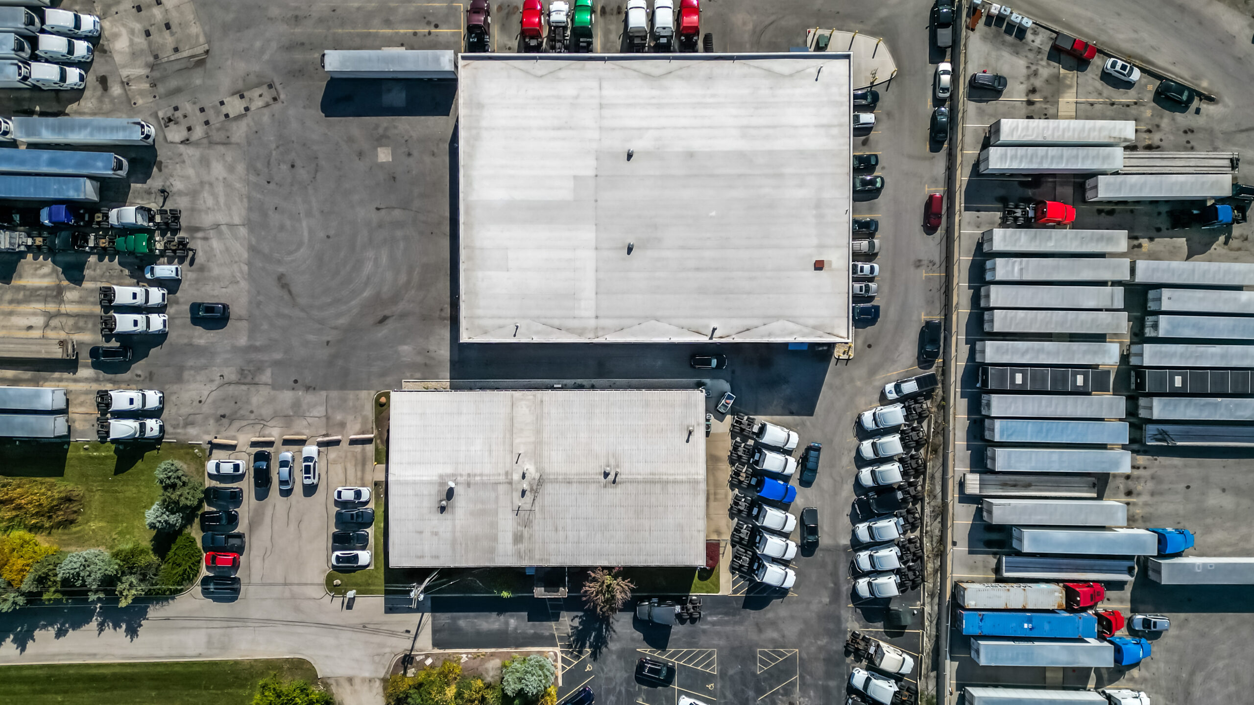
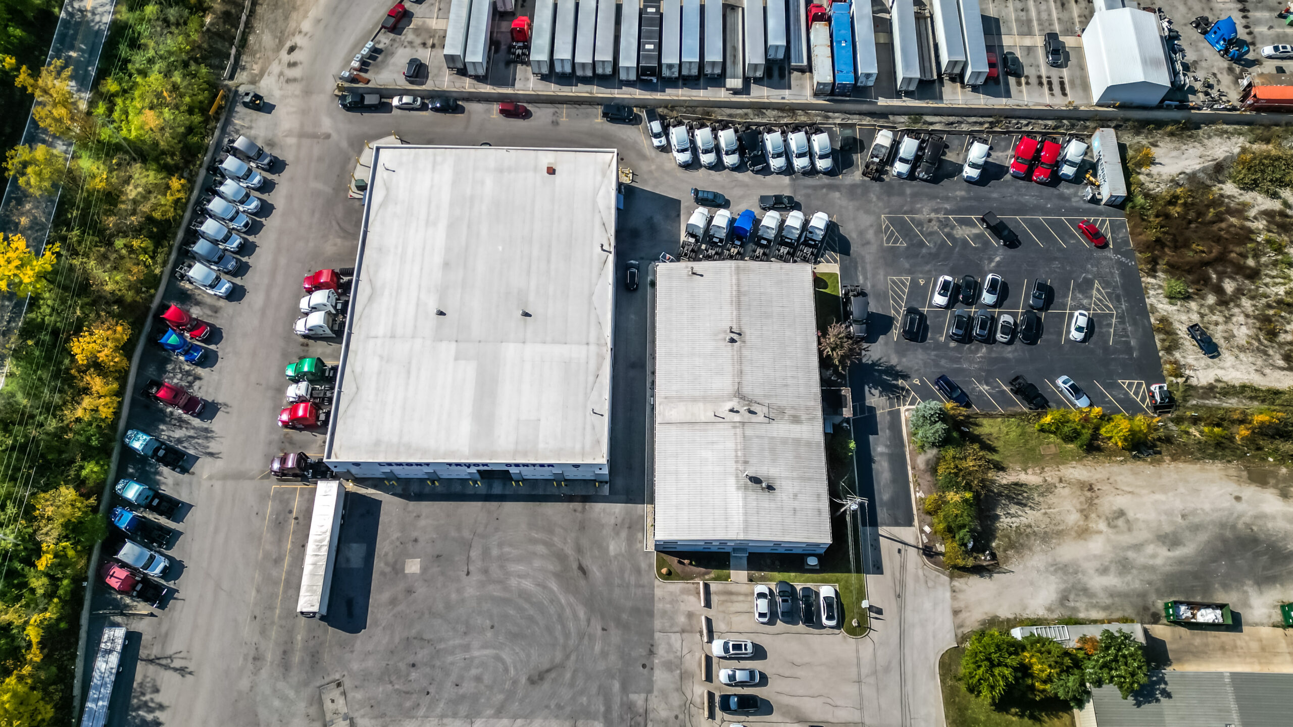
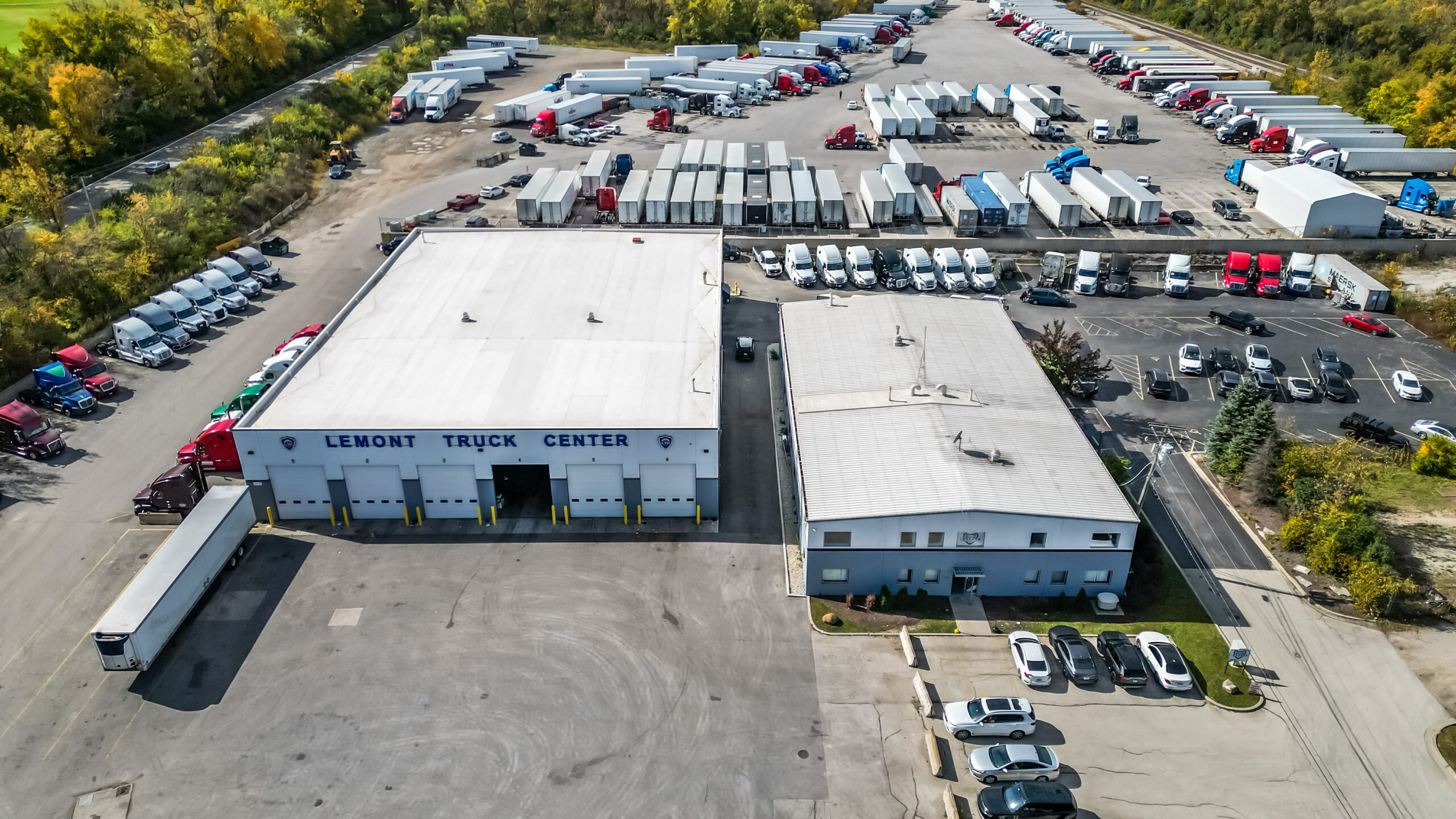
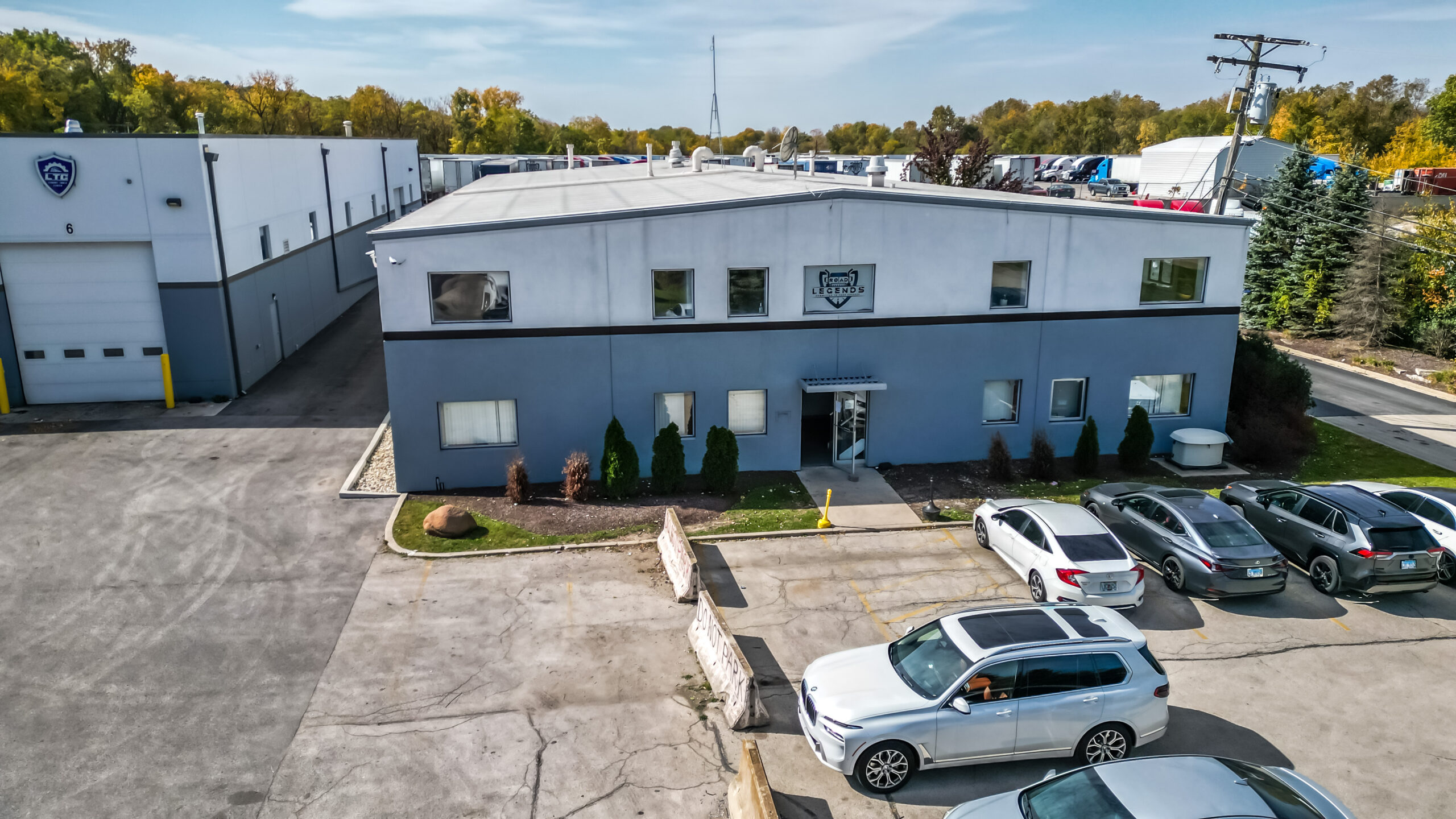
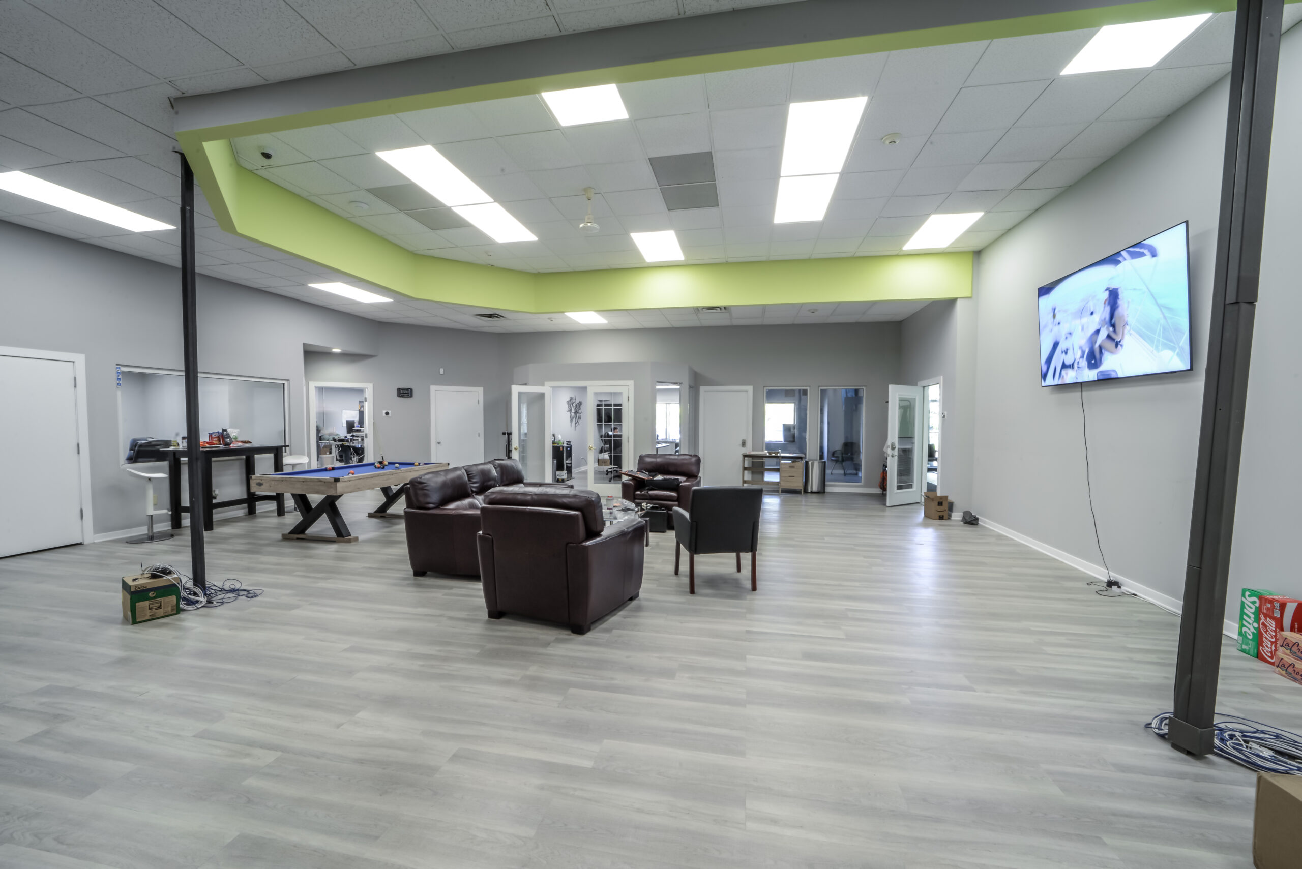
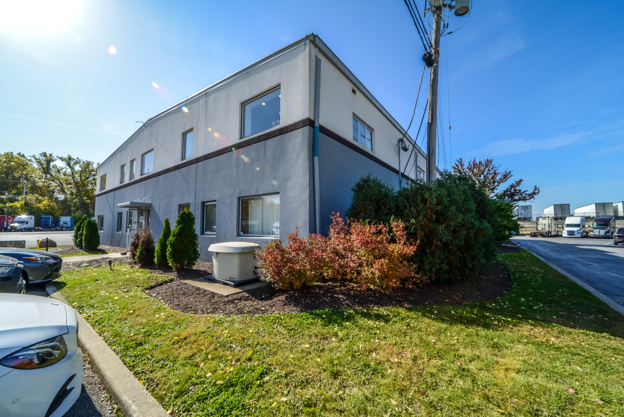
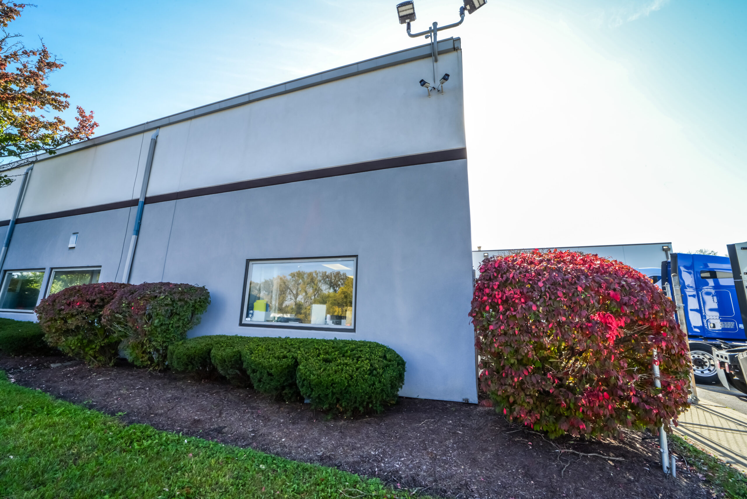
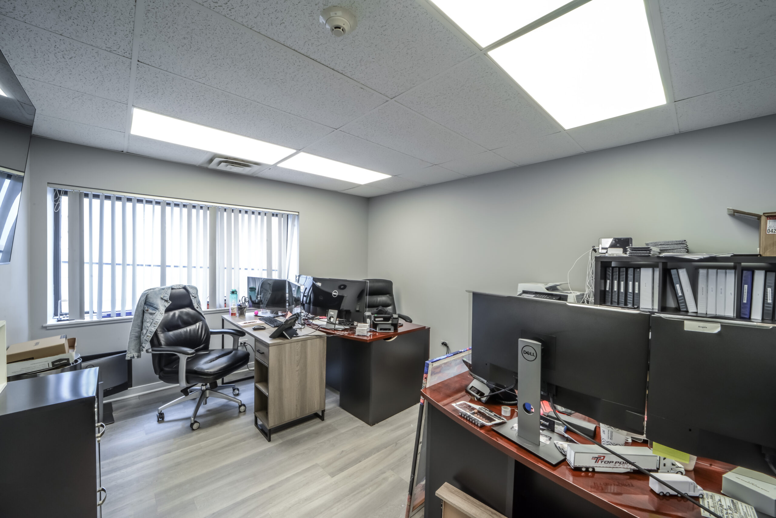
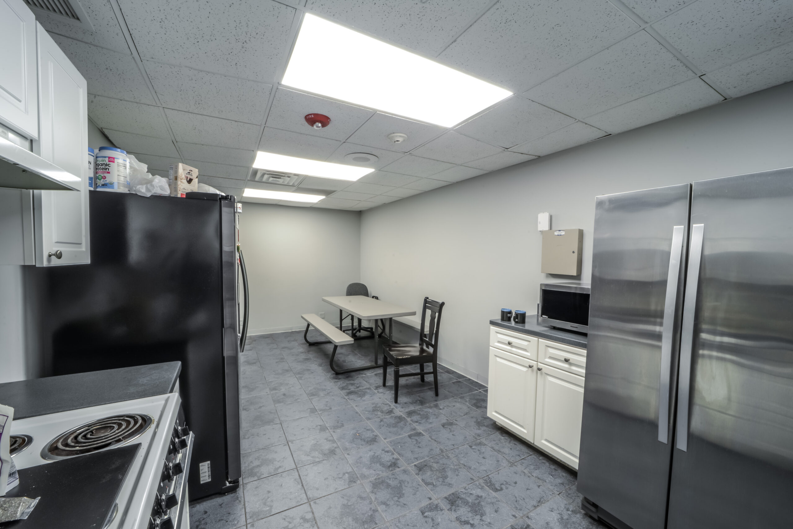
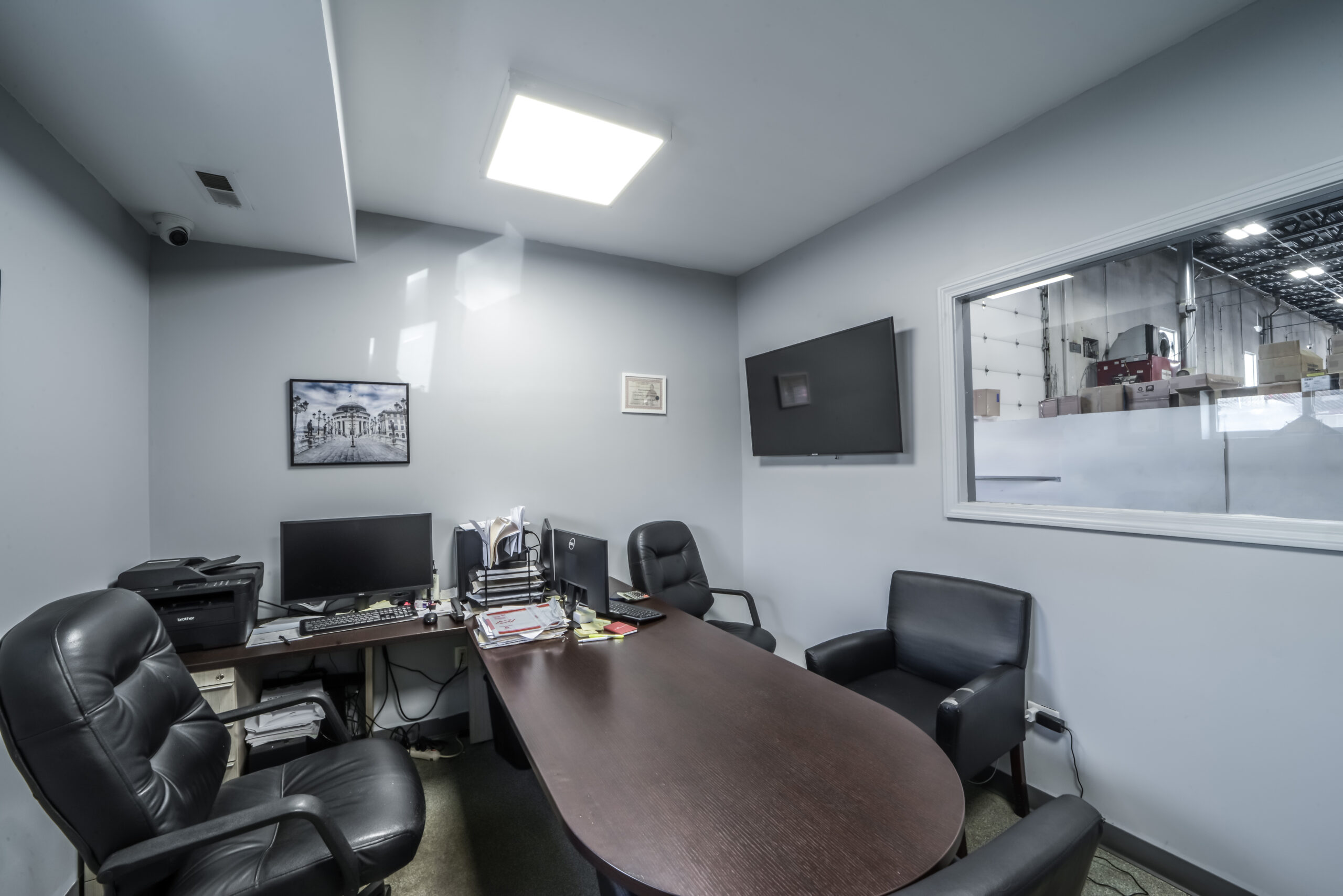
The subject consists of two buildings; the older building is a two-story, multi-tenant office building that was completely renovated over the past few years.
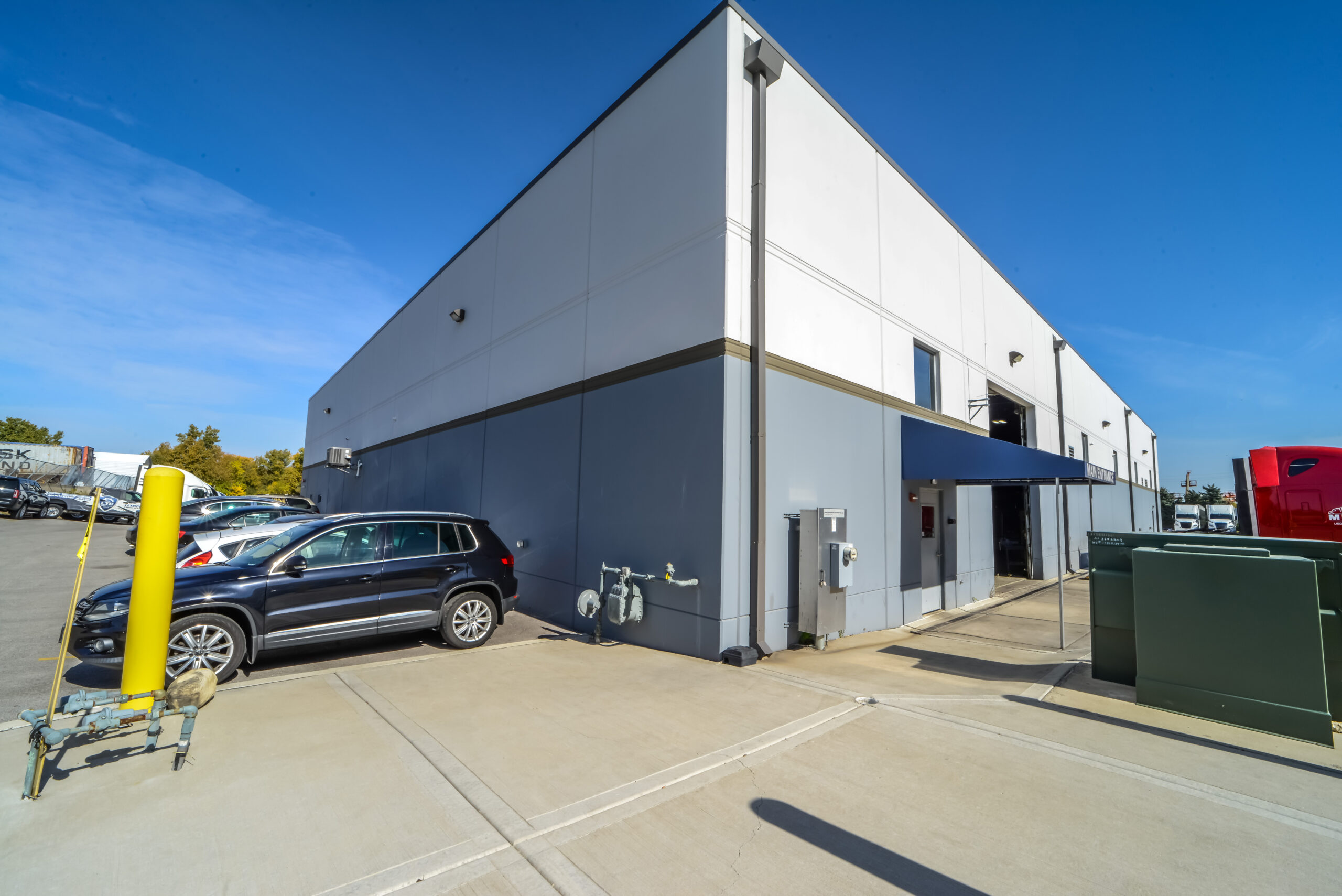
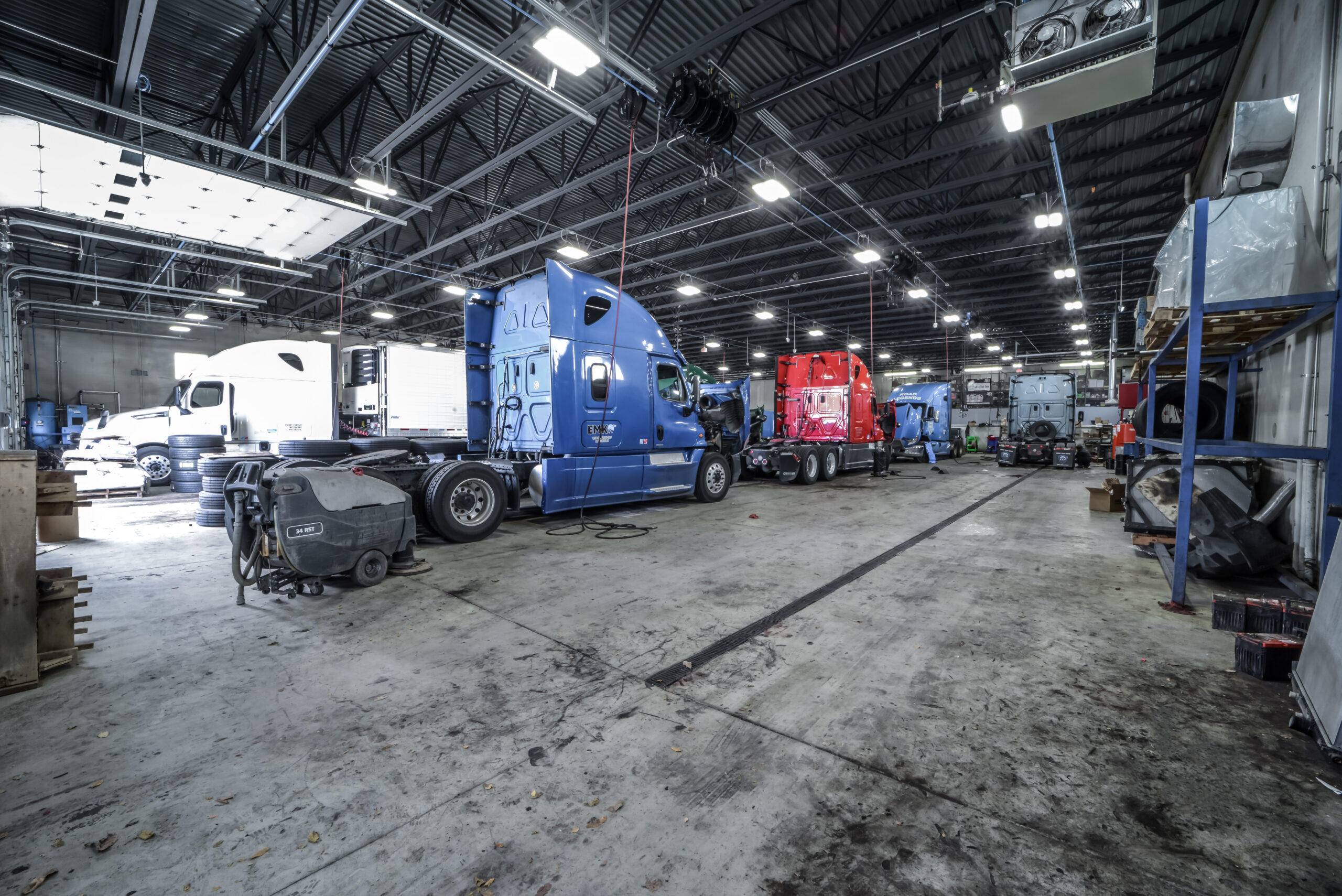
The newer building was constructed in 2019 and consists of a one-story, precast truck repair facility structure.
In addition, there is a significant amount of both asphalt-paved and gravel-paved truck parking areas.
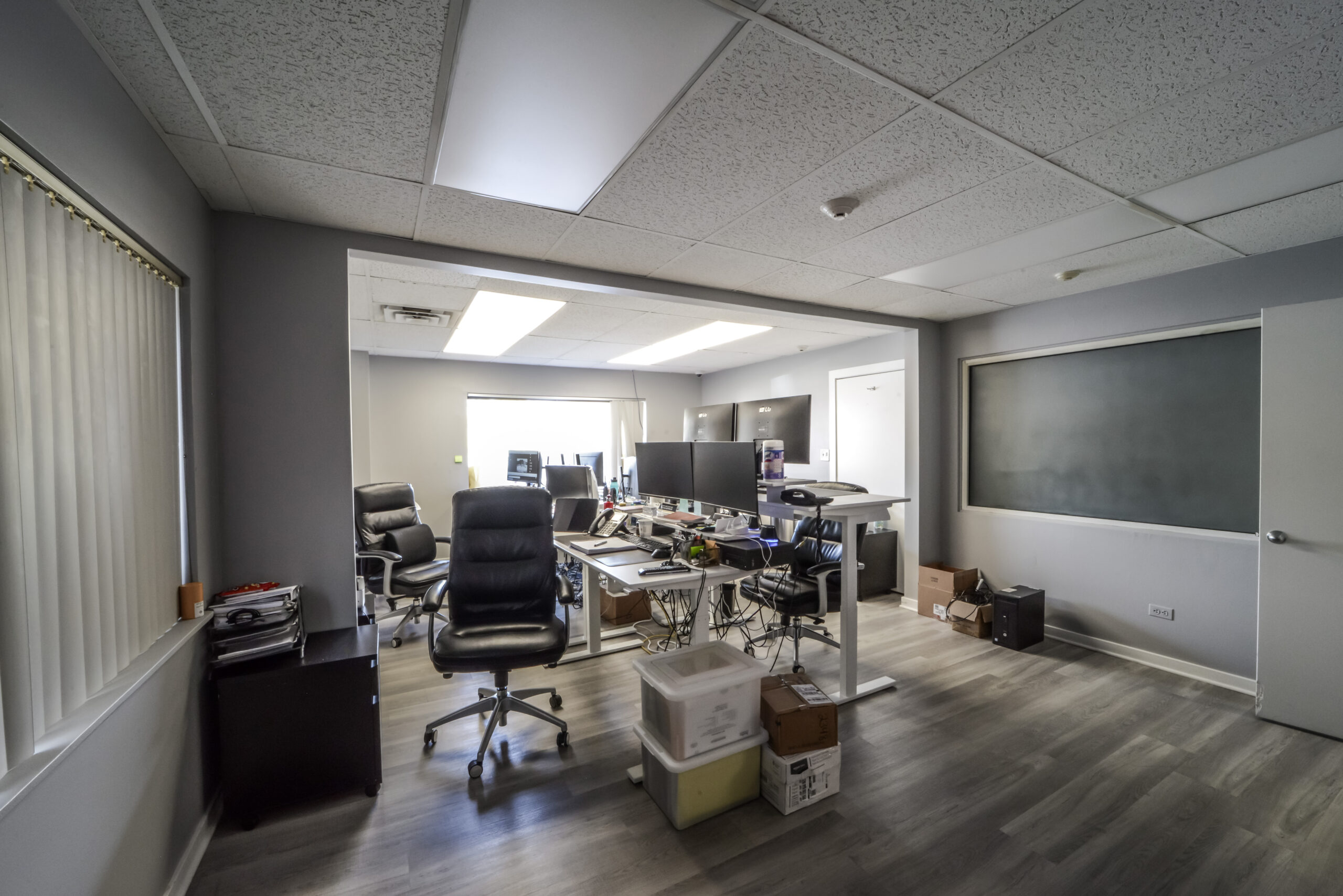
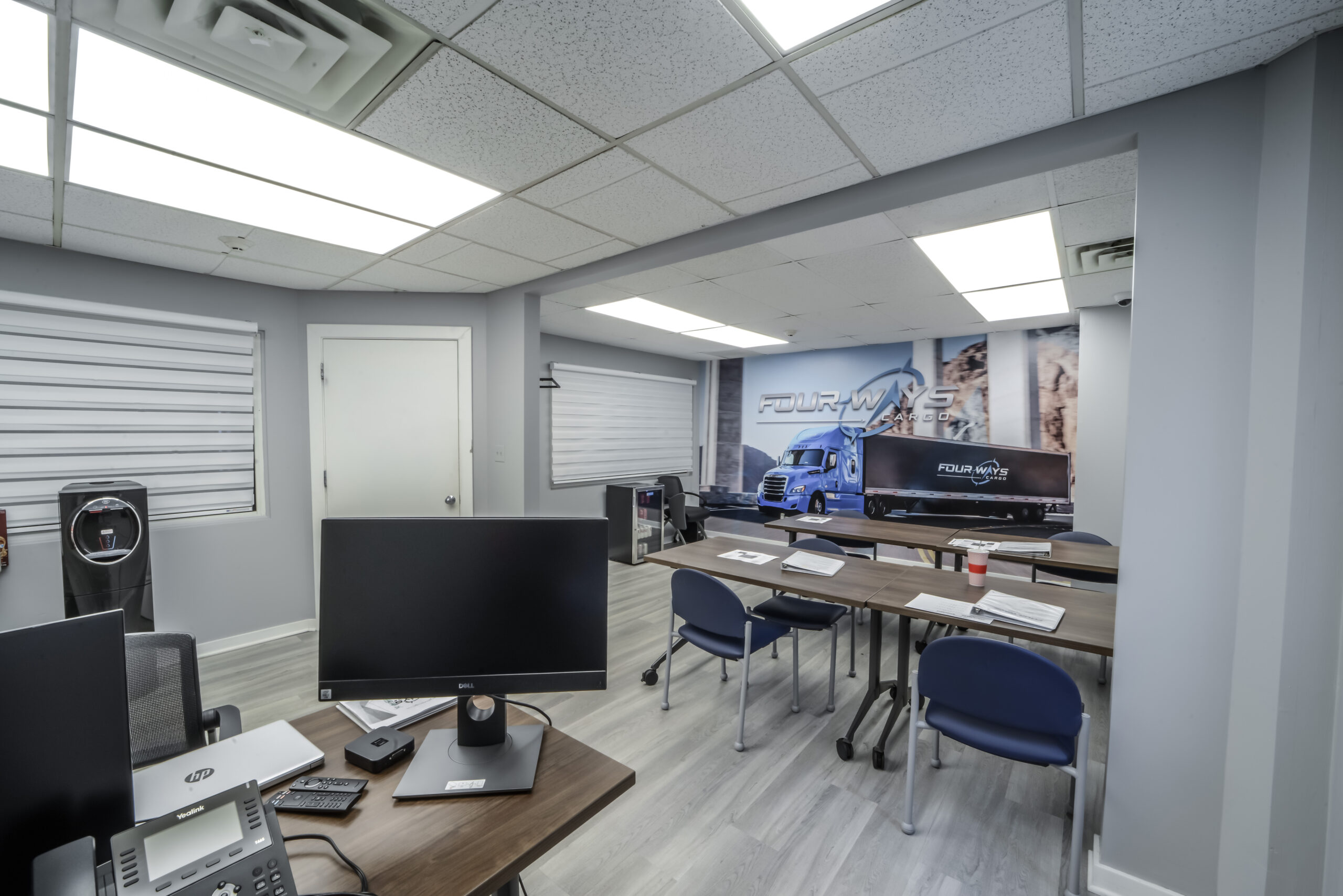
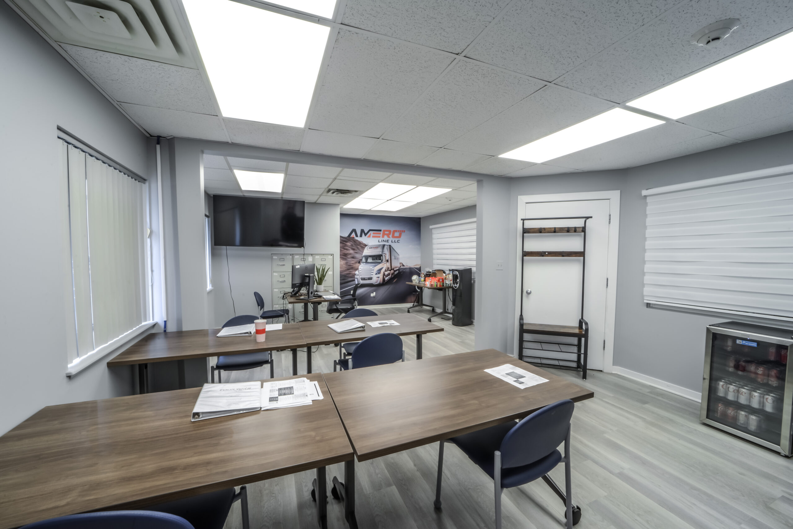
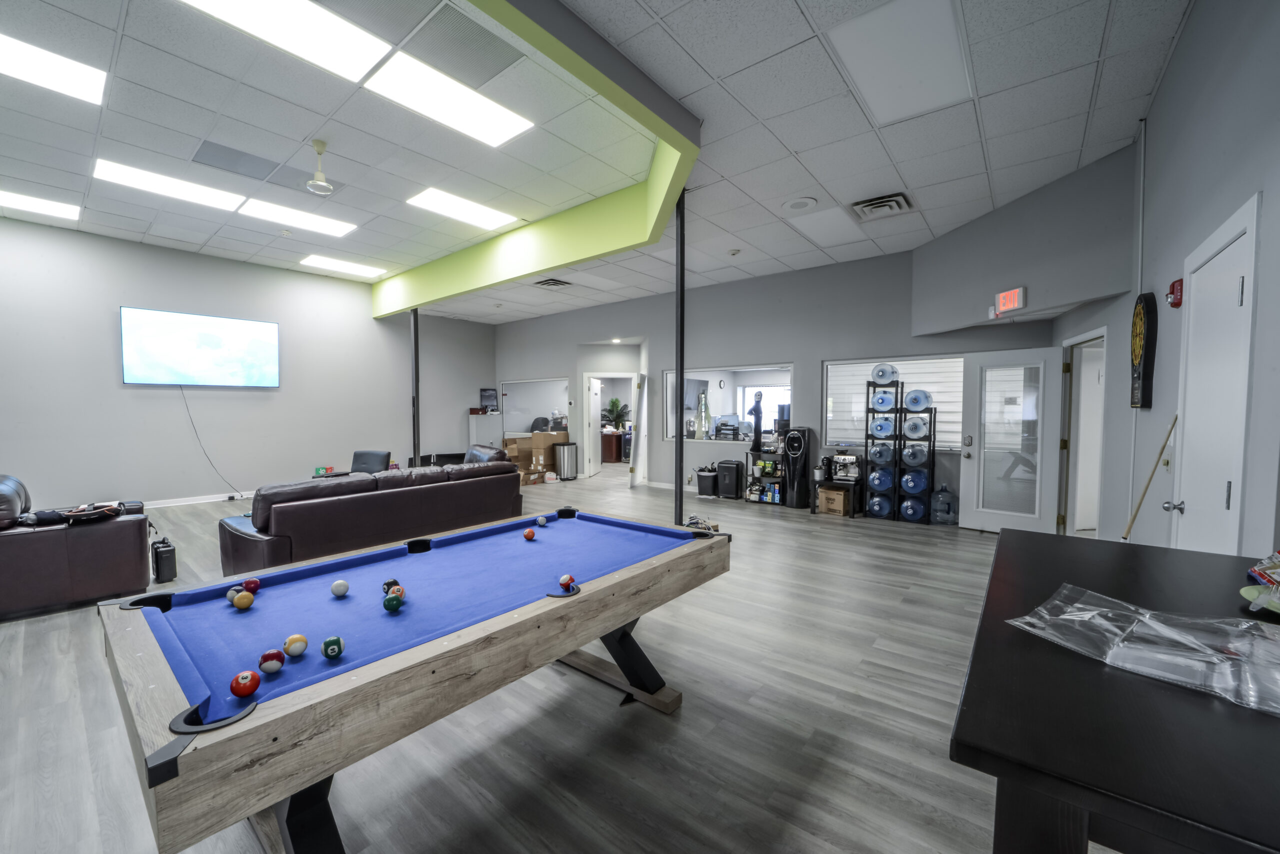
The subject offers approximately 17,982 sq. ft. of office space that is configured into three tenant spaces.
The office area for each tenant includes a general office area, private offices, lobby or driver waiting area, restrooms, and kitchenette.
The units range in size from 1,500 sq. ft. to 3,500 sq. ft